


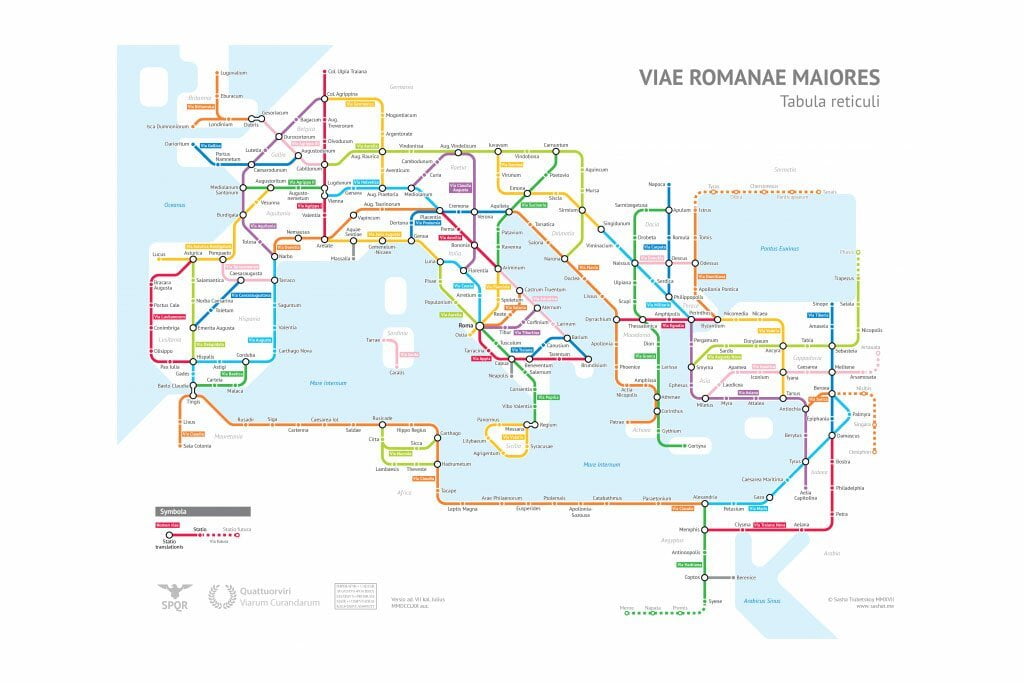
Statistics student work shows, in a simplified way, the scope of the old routes
A map that shows the layout of some of the main roads of the Roman Empire, with a graphic identity similar to that used by current metro lines.
The creation – Roman Roads – is by Sasha Trubetskoy, a statistics student at the University of Chicago, in the United States.

He used as a basis a mapping of Roman roads made by Stanford University (USA), an ancient map of roman roads called the Antonine Itinerary, and the Pelagios Project, a collective initiative that aims to create ways to explore historic places.
Trubetsky's map shows, in a simplified way, the scope of the Roman routes. It should not be seen, however, as a scientific reference.
In his creation process, Trubetsky used the names of famous roads, such as Via Appia or Through Military, but took the liberty of inventing names for roads that do not have registered names.
He also left out sea routes, which were an important component of the Roman transportation network.
The map features “logos of the Roman Empire” invented by Trubetsky and an inscription in Latin that says “the emperor, César Augusto, supreme bridge builder, created this map with a computer program.”
All creative liberties taken by the author are listed in a post on your website.
What was the role of roads in the Roman Empire
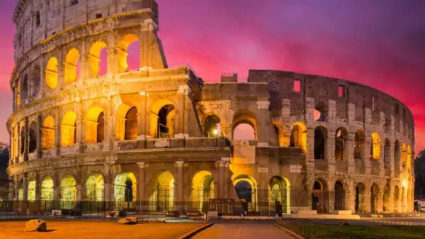
These great public works were an important part of the establishment of the Roman Empire of the ancient world.
Some of them still serve as the basis for designing road systems in European and Middle Eastern countries.
The network of roads crossed what is now Great Britain, connecting Portugal to Constantinople, now Turkey, from where it continued to present-day Syria. They also bordered the Mediterranean coast of Africa and went deep into the continent.
Roads were important to facilitate the movement of troops and supplies via wheeled vehicles. They also facilitated the empire's trade and cultural exchanges.
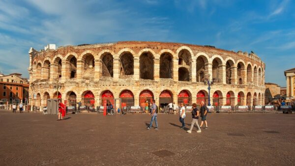
Via Appia
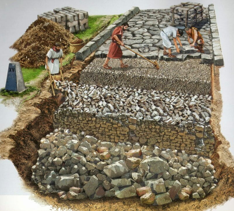
To implement the shortest routes between one point and another, Rome used elaborate engineering techniques. According to the Ancient History Encyclopedia, a non-profit educational website, the first major Roman road was the Via Appia.
Built in 312 BC, it covered 196 km and connected Rome to the city of Capua, in present-day Italy. Like all Roman roads, it sought to minimize travel time between points and had sections that were entirely straight.
Later, the route was extended to the city of Toast, further south and also in present-day Italy.
The process had a research phase and could include draining swamps, building bridges, drilling tunnels, clearing forests and building viaducts over valleys.
READ TOO
By André Cabette Fábio/Nexo