


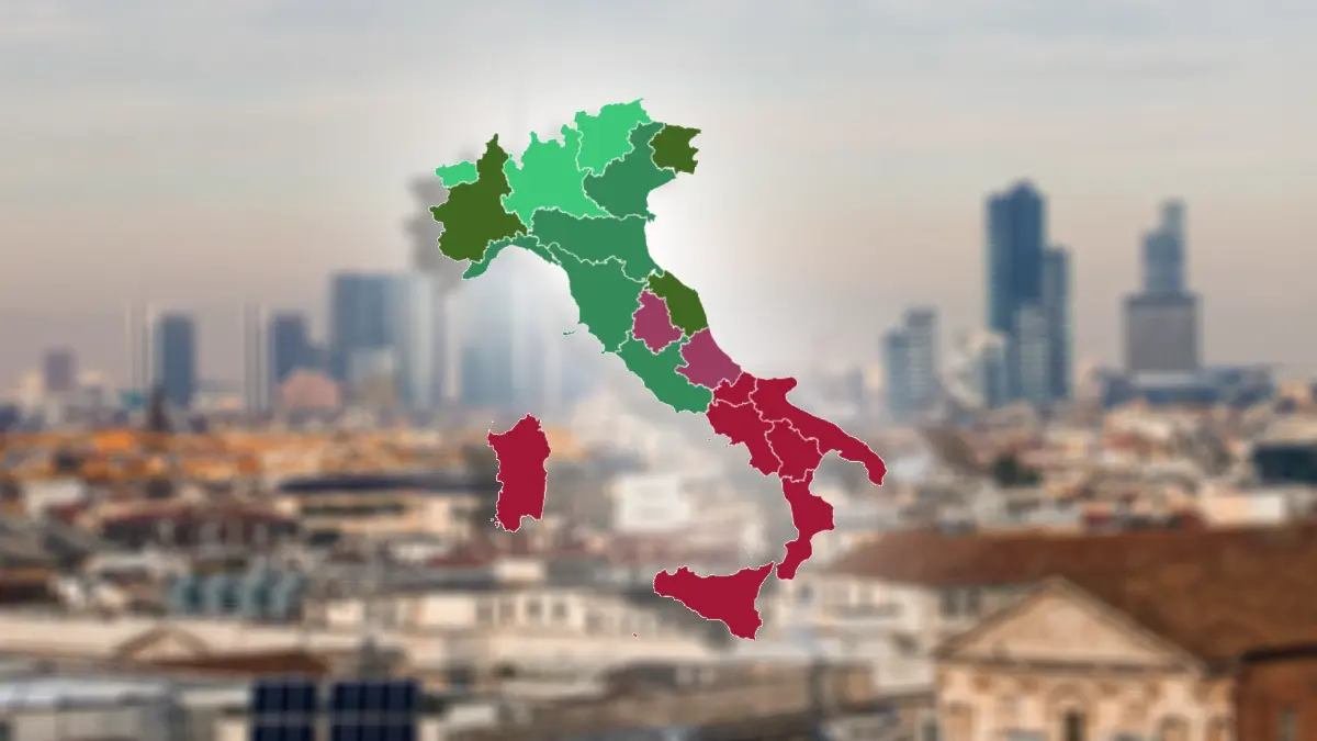
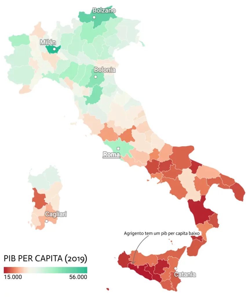
Italy, the third largest economy in the European Union, has a GDP higher than that of Russia, but with only 60 million inhabitants. The result is a GDP per capita very high, around €46 thousand per year – around R$260 thousand –, although very unevenly distributed across the map of Italy, with a huge north-south contrast.
While in the north and in the urban province of Milan GDP per capita reached around €55.800 in 2019 (similar to the average GDP per capita in Australia, Iceland or Finland), in the south, in the rural Sicilian province of Agrigento, they barely reached €15.700 (parallel to that in Iran or Albania). Difference of around 40 thousand euros, 3,5 times more between the extreme north and south of the country.
In the same way that there is a marked difference in GDP per capita between the north and south of the map of Italy, there is also a difference between urban and rural areas.
And the north is much more urban than the south. Thus, the large urban provinces of the north (together with the autonomous province of Bolzano) are the richest regions of the country (Milan , Bologna or Florence), while the more rural regions in the south are the poorest.
This division follows the borders that already existed before Italian unification, where the many small northern city-states, focused on trade and innovation to survive, evolved to form the Italian industrial districts, one of the most innovative and competitive in the world and almost immune to economic crises.
In the south, the ancient agricultural kingdom of Two Sicilies left behind, with a very high agricultural weight and few large cities that stimulate economic activity.
The ancient kingdom of the Two Sicilies occupies 40% of the map of modern-day Italy, but its GDP barely reaches 23% of the country's wealth.
At the other extreme, the regions of the Po Valley (Padania, which stretches between the Apennines and the Alps) account for half of Italy's GDP.
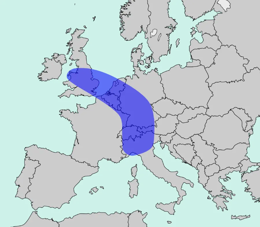
Furthermore, the northern provinces are close to other economic centers in Europe and are part of the european blue banana, while those in the south are part of the economic periphery of the European Uniona.
In the middle of this great divide that splits the country in two would be the province of Rome, with a GDP per capita slightly higher than the Italian average, but surrounded on the map by other provinces notably below it.
This immense contrast of GDP per capita on the map of Italy it also translates, as cause and consequence, into many other socioeconomic variables.
The south is home to the Camorra (Campania), the Cosa Nostra (Sicily), the Sacra Corona Unita (Apulia) or the 'Ndrangheta (Calabria), the Italian mafias, who control multiple economic sectors through extortion and corruption and fuel many of the region's socioeconomic problems.

The contrast between north and south is also visible in the map of unemployment, school failure, young people who neither study nor work, in the value of the working hour, in investment in Research, Development and Innovation or in receiving European aid.
FOLLOW-US